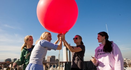

Meteorology and climate science students prepare to launch a weather balloon off Duncan Hall's rooftop (David Schmitz photo).
By Alison F.C. Bridger, Professor and Chair, Department of Meteorology and Climate Science
(Editor’s note: We’ve had long spells of sunshine, a dash of rain, and just enough snow to ski and snowboard. Are we experiencing permanent changes resulting from climate change?We asked the Department of Meteorology and Climate Science, the only one of its kind in the entire CSU, to explain.)
As we all know, day-to-day weather in our latitudes can be quite variable. Although we do have extended dry and settled periods in winter, we also experience stormy periods lasting several days. This results typically in a lot of day-to-day variability. This winter has been exceptional for its lack of day-to-day variability. As we are all well aware, we have entered into record-breaking territory. In the Bay Area, of all Decembers on record, only two were drier – and both of those featured no rain at all! And now here we are in mid-February with an accumulated rain amount of just over 2 3/4 inches since July 1 last year! Many locations in the United States can expect to receive this much rain in just an hour!
The variability of the weather is one of the causes of our inability to forecast much beyond about 10-14 days with any accuracy. When we make seasonal predictions, they are more “broad brushed”, with vague statements such as “drier than normal” for the entire western United States. Although weather forecasts for the next three-to-10-day range have become measurably more accurate in the past two decades, atmospheric scientists still have a lot to learn about the factors that contribute to unusual weather events such as prolonged wet or dry or hot or cold spells.
Which brings us to our current unusually dry winter in California. Is our very dry year “normal”? In looking back over about 100 years of data, we can easily calculate how much rain we get in an average year. We can also find when that rain typically falls (i.e., which month), and whether we get a lot of light-precipitation storms, or just a few heavy-precipitation storms; climate change studies show that we will experience more of the latter as we head through the 21st century. From the data, we can also see how wet (dry) our wettest (driest) years have been, and how often we might expect to get very wet or dry years. Consequently, since rainfall received in the current year so far resembles what we got in the 1976-77 dry year, it’s very possible that we are simply experiencing the kind of dry year we get in California from time-to-time.
Some of you may remember the very wet year of 1982-83 which was associated with a very strong El Nino event. We’ve recently experienced the opposite – a very strong La Nina which peaked in 2010-11, then decayed before strengthening again. The last big La Nina was in 1975-76, intriguingly just before the drought of 1976-77 when many California reservoirs ran dry. Although this is a good example of a statistical connection between La Nina and our dry conditions, for atmospheric scientists this doesn’t count as proof that our lack of rain is due to La Nina. Scientists world-wide are working on understanding the cause(s) of the unusual weather that is being experienced everywhere, and many of these studies are focused on the impacts of El Nino and La Nina. La Nina is a tantalizing explanation for our dry winter, but scientists prefer to have concrete proof – and so far that is lacking.
So finally, what about the possibility that we’re seeing the “new normal”, with drier and milder winters? The idea of the “greenhouse effect” has been well understood for decades and is not new. The belief that our climate overall will warm up as we add more greenhouse gases is also very well-founded, and all observations show very clearly that the global climate is warming as the levels of greenhouse gases continue to rise. It is a bit more difficult to pin down the regional climate changes that will occur in the next 50 years – our lifetime.
Here, scientists turn to very sophisticated numerical (computer) models of the atmosphere for answers. We have now been using and improving these models for decades, continuously incorporating new understanding of how the atmosphere (and oceans) work, and also continuously comparing these simulated atmospheres with observations of the “real” atmosphere. We have high confidence in these models, and we use the models to predict the impacts of climate change on California and other regions. Some of the predictions these models make include: warming temperatures overall, especially at night; the “storm track”, which brings our winter rains, will gradually move away northward – taking storms with it; our rainfall will increasingly come via fewer and more intense storms.
Our climate is a very complex system, but our understanding of it is being advanced every day. So does our hard work on climate change leave us able to say that our unusually dry winter is a result of climate change? No. The best we can say at the moment is that the mild, dry winter is consistent with predicted changes due to climate change. If we have several of these dry winters in a row, we can start to attribute them to climate change. As we saw above, the dry winter also fits the La Nina pattern, and is also no drier than past winters we’ve experienced.